
- This event has passed.
Qornet el Hamra Hiking trail
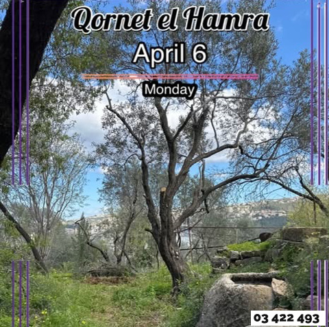
Qornet el Hamra
: Monday April 6
️: ~8 km
Max elevation: 420 m
Min elevation: 25 m
: +42 m
: – 445 m
️ : Easy
: ~4 hours
➰ : One Way
:
1- Zouk Highway (7.30 am)
2- Jdeideh Parking 8.00 am Sharp
We can pick up hikers on our way
Return around 3 PM
:
Qornet el Hamra is located in the Mount Lebanon Governorate, approximately 30 km east of Beirut. It is a popular, scenic hiking area in the El Metn district, often featuring trails that connect to Zikrit and the Nahr el Kalb valley. The area is distinct from the nearby town of Cornet Chahwan
PS:We will start our hike from Qornet el Hamra and finish in Zekrit
What to bring: Water, Jacket, Hat, Sunscreen, Snacks, ID, Insurance Card and as usual your Positive Vibes.
23$/ pers. (Transportation in a comfortable Bus, Guide)
Book your spot now
Whats app on +961 03 422 493