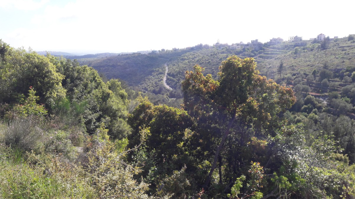
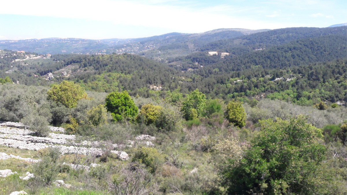
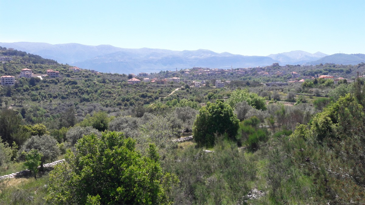
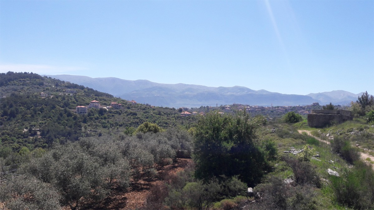
Mouhafaza: Mount Lebanon.
Caza: Chouf.
Altitude: 750 Meters.
Area: 120 Hectares.
Coordinates: X: 132 Y: 186.
Line of Fire Distance from the Caza center (Beit el Dine): 9.49 Km.
Distance from the Caza center: 22 Km.
Distance from the Capital: 59 Km.
Geographic Code: 23365.
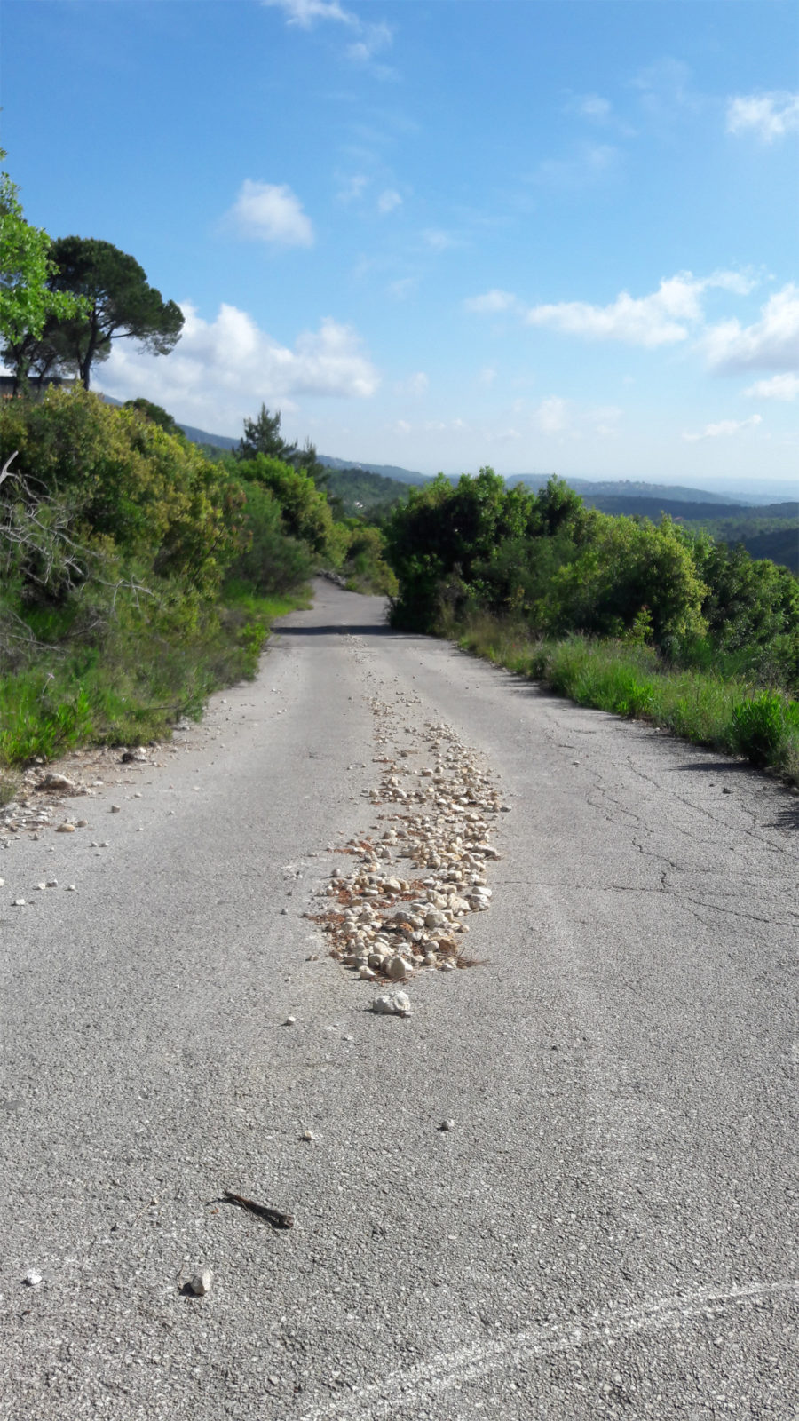
Roads to get there:
1- Elman – Joun – Savior’s Monastery – Bekifa – Mazmoura – Mazraet el Dahr – Jleiliyeh – Mtolleh.
2- Beit el Dine – Baakline – Gharifeh – Mtolleh.
3- Jezzine – Bisreh – Mazraet el Mathaneh – Savior’s Monastery – Bekifa – Mazmoura – Mazraet el Dahr – Jleiliyeh – Mtolleh.
4- Mokhtara – Beikoun – Bsaba – Mtolleh.
Name’s Origin and Meaning:
1- MTALLA Syriac origin MTALLE means an umbrella or shed shade, or a place to shelter from the heat.
2- Relative to the overlooking location of the town, to Chouf and Jezzine areas.
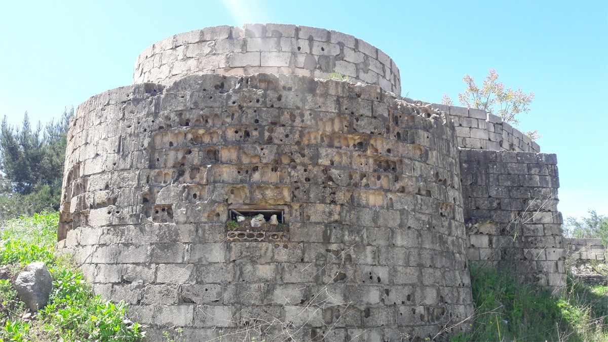
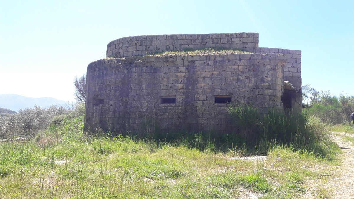
Archaeological and Heritage Places:
1- Old coffins in the nearby caves.
2- Bzina’s spring.
Religious Places:
1- St. Georges Church – Maronite.
2- Square of the Cross.
Local Festivals and Events:
1- St. George’s Day on April 23rd.
2- Good Friday’s Walk on Good FridayPM.
3- Mary’s Walk, Last Saturday of MayPM.
4- Feast of the Transfiguration on August 6th.
5- Exaltation of the Cross on September 14th.
Educational Institutions:
1- Sisters of Charity School.
2- Former Mtolleh’s Public School.
Most Known Families:
Eid, Youssef, Mansour, Traboulsi, Mikhael, Assad, Jadallah, Zaydan, Hanna, Maroun.
For more info, please check mtolleh-margerges.com